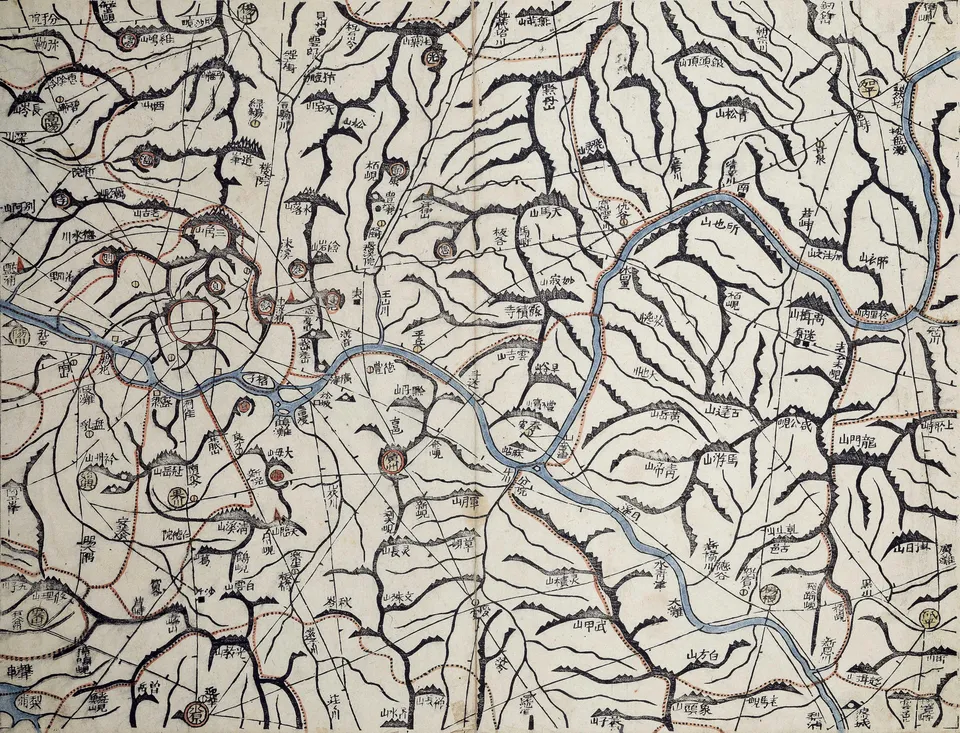
Daedong yeojido by Kim Jeong-ho, 1861, Kyujanggak

김정호 · Public domain · Source

Person

Kim Jeong-ho

Geographer who published the woodblock map Daedong yeojido

His pen name was Gosanja. After the earlier Cheonggudo, he published the Daedong yeojido in 1861, divided into 22 folding books that could be carried, with a dot every 10 ri along the roads to show distance. He also wrote the geography Daedong jiji.

Where they went

OpenFreeMap © OpenMapTiles © OpenStreetMap contributors

2 related events

  1. 1

    A map of Korea by Jeong Sang-gi, the first to use a scale — the "hundred-ri ruler".

  2. 2

    Kim Jeong-ho published a woodblock map of the whole country in 22 folding sections; laid out together they form a map nearly seven metres tall.

Related works

  • Documentary: History Special Episode 196: Kim Jeong-ho's Dream: Mapping the Network of JoseonDocumentary · 2003 · KBS1

Themes this person appears in

  • Science and Technology HeritageAD 633 – 1861

    From Cheomseongdae to the Daedong yeojido — instruments and maps that measured the sky, kept time, gauged rain and charted the land