ScienceMid-18th century (reign of Yeongjo)
Jeong Sang-gi’s Dongguk Jido
Also called: Map of the Eastern Country
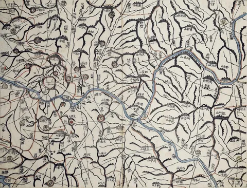
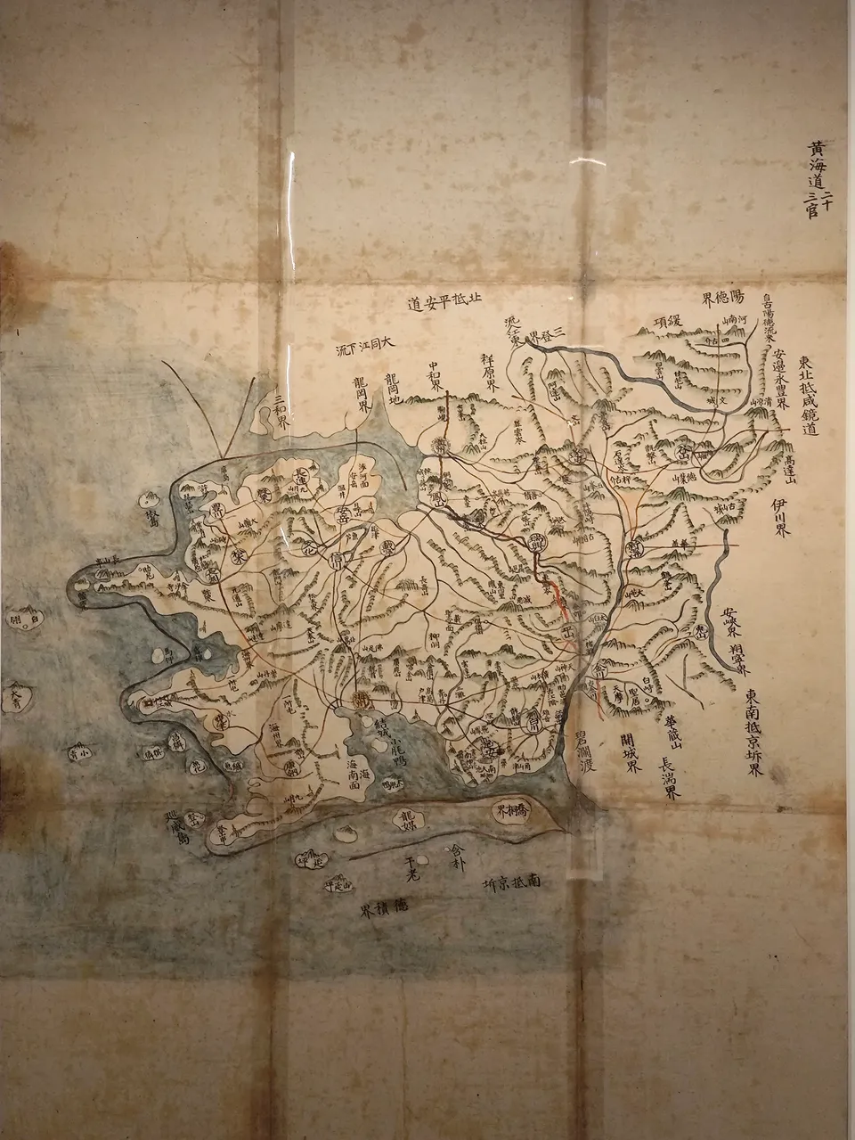
A map of Korea by Jeong Sang-gi, the first to use a scale — the "hundred-ri ruler".
Unknown author · Public domain · Source
Jeong Sang-gi (1678 – 1752) drew his Map of the Eastern Country using, for the first time, a scale in which one cheok stood for a hundred ri of measured distance (the baengnicheok). Distances could now be measured on the map, and the northern part of the peninsula, long drawn too short, was greatly corrected. It consisted of a national map and maps of each province.
King Yeongjo admired it and had copies made for the Office of Special Advisers and other agencies. Its many copies became the model for late Joseon maps, leading on to Kim Jeong-ho’s Daedong yeojido (1861).