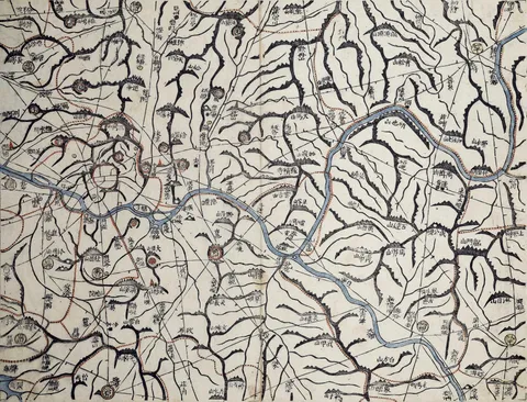
Kim Jeong-ho’s Cheonggudo
Also called: Cheonggu-do
Kim Jeong-ho made the Cheonggudo, a two-volume atlas dividing the country into a grid, whose pages join up into a map of the whole country — the groundwork for the Daedong yeojido.
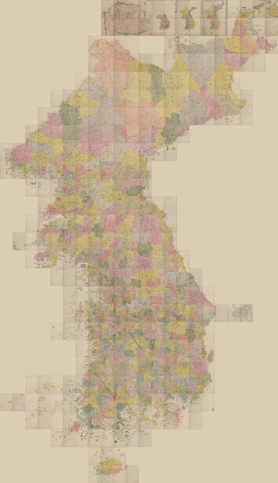
Kim Jeong-ho · Public domain · Source
The Cheonggudo is a two-volume atlas made by Kim Jeong-ho in 1834, the 34th year of King Sunjo. It divides the country into a grid of 29 tiers north to south and 22 columns east to west, each page covering 100 li north–south and 70 li east–west, so that neighbouring pages join into one map of the whole country. Figures for each county — households, farmland, troops — are written alongside.
His friend the scholar Choe Han-gi wrote the preface, saying Kim had been absorbed in maps and geography books since youth and had gathered material for many years. A few lines like these are all we know of Kim’s life. Twenty-seven years later he refined the Cheonggudo into the Daedong yeojido.