The Maps of Joseon
From the world map Honil gangni yeokdae gukdo jido to Jeong Sang-gi’s scaled map and Kim Jeong-ho’s Cheonggudo and Daedong yeojido — how the people of Joseon drew their land
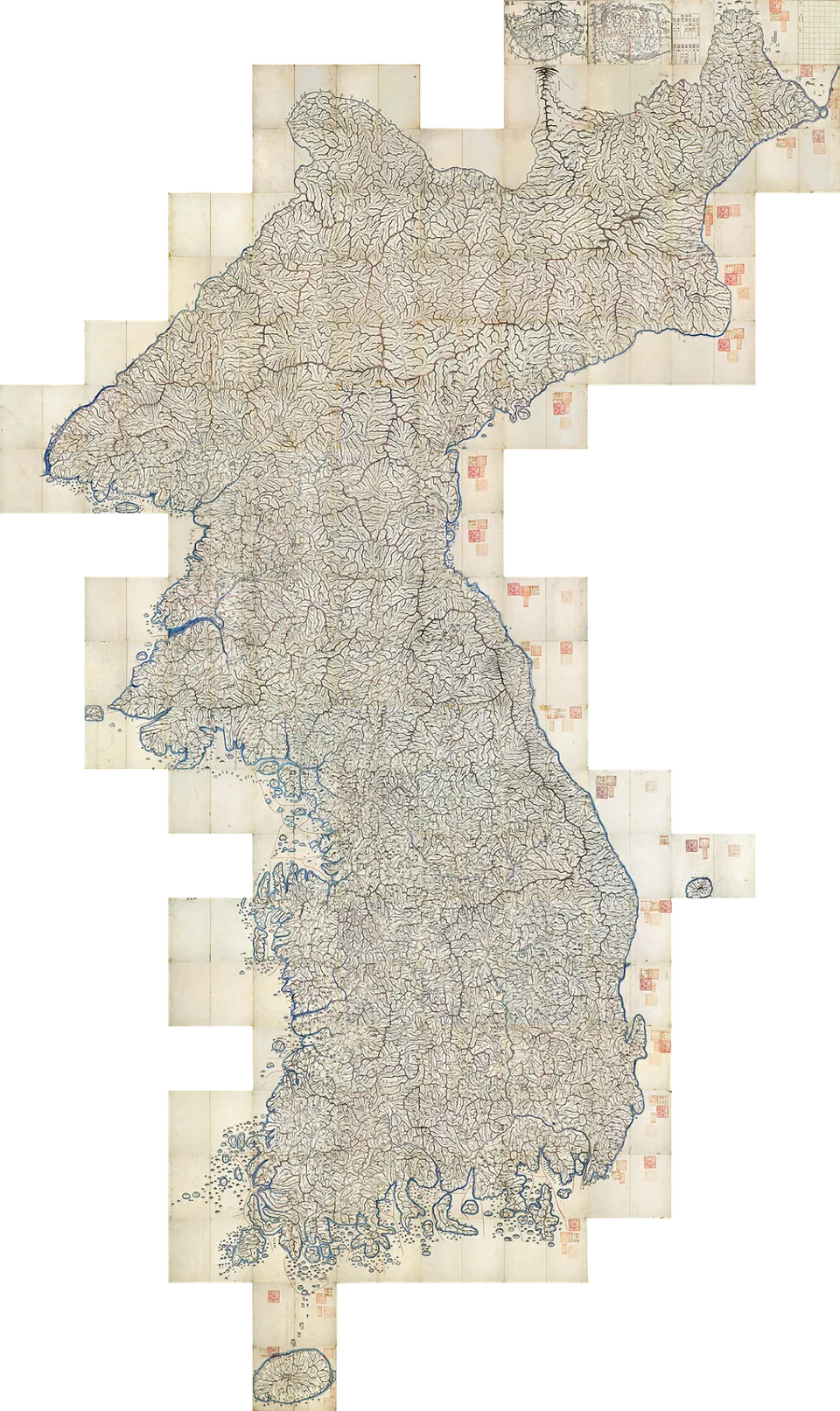
Kim Jeong-ho · Public domain · Source
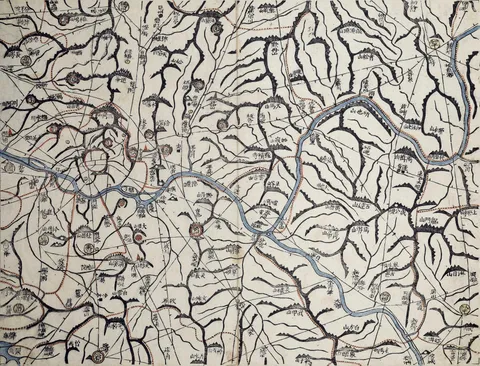
From the world map Honil gangni yeokdae gukdo jido to Jeong Sang-gi’s scaled map and Kim Jeong-ho’s Cheonggudo and Daedong yeojido — how the people of Joseon drew their land

Kim Jeong-ho · Public domain · Source
Kim Sa-hyeong, Yi Mu and Yi Hoe combined Yuan maps with maps of Joseon and Japan to make the world map Honil gangni yeokdae gukdo jido.
By order of King Seongjong, No Sa-sin, Seo Geo-jeong, Yang Seong-ji and others compiled the Dongguk yeoji seungnam, a geography recording the history, landscape, customs and notable people of every county.
A map of Korea by Jeong Sang-gi, the first to use a scale — the "hundred-ri ruler".
Kim Jeong-ho made the Cheonggudo, a two-volume atlas dividing the country into a grid, whose pages join up into a map of the whole country — the groundwork for the Daedong yeojido.
Kim Jeong-ho published a woodblock map of the whole country in 22 folding sections; laid out together they form a map nearly seven metres tall.
Twelve of the woodblocks Kim Jeong-ho carved to print the Daedong yeojido survive, in the National Museum of Korea and Soongsil University; they were designated a Treasure in 2008.

Geographer who published the woodblock map Daedong yeojido

Third king of Joseon, who seized power in the Strifes of Princes and strengthened royal authority

Ninth king of Joseon, who completed the Gyeongguk daejeon code and promoted Sarim scholars
Scholar-official under Seongjong who led the compilation of the Dongguk tonggam, Dongguk yeoji seungnam and Dongmunseon